 Germany observation tower
Toelle-Tower
You can see 109 km from here, looking south-west.
Calculating the panorama…
Drag to turn around. The relief is drawn 2.2 times taller so the ridges can be read; far ridges are paler, as in the real air.
The view
Up to 109 km away.
Calculated on the relief one degree at a time, up to 250 km, with the curvature of the Earth and the refraction of the air: what stands above the horizon from here.
Our own rating, from the relief and the climate only: open horizon (35 points), how far you see (25), sea and named peaks in view (20) and clear months (20).
- 109 kmFarthest ridgelooking south-west
- 100%Open horizonof the circle where the horizon is below your eyes
- 223Peaks in viewnamed summits that rise above the relief in front
- 340 mAltitudeabove the sea, at the highest point of the viewpoint
The 223 peaks you can name from here
From west to east as you turn around: height, distance and direction. Each one links to its guide on Peakyas, our mountain atlas.
From the relief only: buildings, trees and haze are not in the model. On a hazy day you see much less; 250 km is the limit of our calculation.
The sun
The best sunsets are in April and from August to September.
When the sun really disappears from this viewpoint — behind the relief or into the sea — and in which direction, on the 15th of each month, in local time.
- Jansouth-west4 min before the sea-level sunset23%
- Febwest2 min before the sea-level sunset26%
- Marwest2 min before the sea-level sunset31%
- Aprwest2 min before the sea-level sunset36%
- Maynorth-west2 min before the sea-level sunset32%
- Junnorth-west2 min before the sea-level sunset29%
- Julnorth-west2 min before the sea-level sunset32%
- Augnorth-west2 min before the sea-level sunset33%
- Sepwest2 min before the sea-level sunset35%
- Octwest2 min before the sea-level sunset30%
- Novsouth-west4 min before the sea-level sunset24%
- Decsouth-west4 min before the sea-level sunset22%
- Time: when the sun goes behind the horizon you see from here.
- Minutes: how much earlier the relief hides the sun.
- %: share of clear sky that month (NASA, 2001–2020).
The highlighted months are the clearest. Golden hour starts about an hour before.
The place
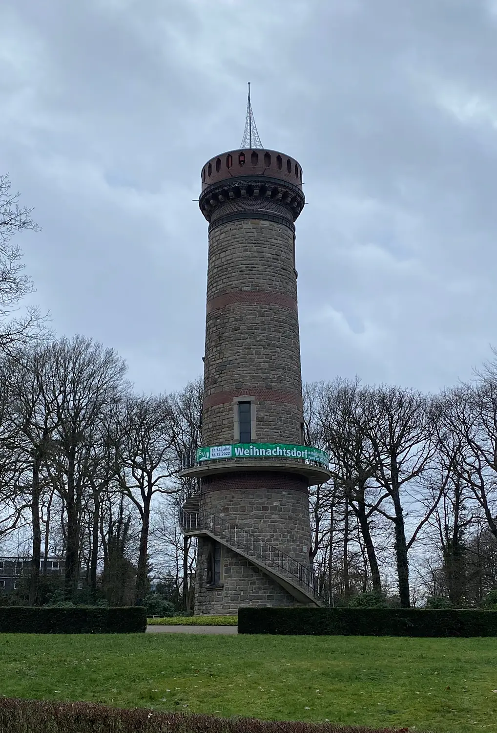
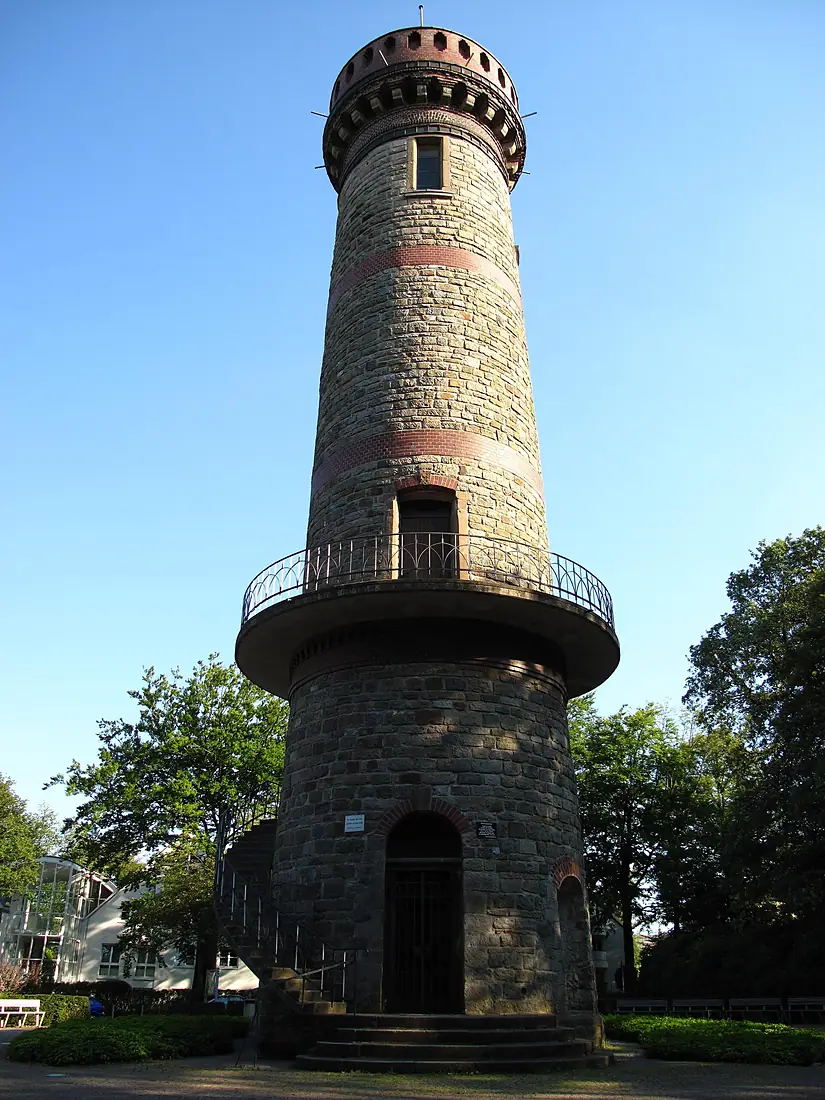
Toelle-Tower.
Observation tower in Wuppertal
Toelle-Tower is an observation tower in Germany, 340 m above the sea.
On a clear day the farthest ridge you can see is 109 km away, looking south-west.
223 named peaks rise above the relief in front; the most prominent is Hohe Acht (746 m), 98 km away.
The horizon is open, below your eyes, over 100% of the circle.
The skies are clearest in April and from August to September.
Get there and stay
- Going upCheck the opening hours before you go: towers and decks close in bad weather.
- Carnaper Platzcampsite · 2.5 km · 7 within 10 km
- Haven Hotelsplace to stay · 1.3 km · 101 within 10 km
- Wuppertalnearest town · 3.7 km in a straight linePlaces to stay in WuppertalBooking.com · sponsored link↗
- Düsseldorf Airport (DUS)nearest airport with scheduled flights · 30 km in a straight lineCar hire at DUS airport (Düsseldorf)Discover Cars · sponsored link↗
Plan the visit
A guided tour, a bed nearby, a car.
Some links above are affiliate links: if you book through them we may earn a commission, at no extra cost to you. It never changes what the data on this page says.
From above
The viewpoint and its surroundings.
The satellite image of the 6 × 6 km around the viewpoint, with what OpenStreetMap shows nearby.
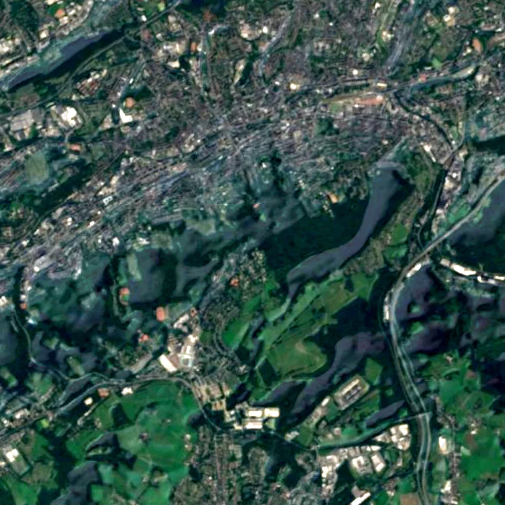
Around, in OpenStreetMap
- 41other viewpoints within 5 kmFlügelhügel and 40 more
- 18named peaks within 5 kmStübchensberg, Uellendahler Berg, Krähenberg and 15 more
- 19marked trails within 3 kmZuweg Erlebnisweg Morsbach, X7 Residenzenweg (Wuppertal), Wupperweg and 16 more
- 174shelters and huts within 5 kmSchutzhütte im von der Heydt Park, Helene-Henk-Hütte and 172 more
- 540car parks within 3 km
- 1visitor centres within 5 kmWuppertal Touristik
- 113restaurants and cafés within 3 km
- 7campsites within 10 kmCarnaper Platz, Familien-Sport-Gemeinschaft Lichtbund Wuppertal e.V., Wohnmobilstellplatz Panoramabad Velbert-Neviges and 4 more
- 101places to stay within 10 kmHaven Hotels, also-Hotel an der Hardt, B&B Wuppertal City and 98 more
- cable car and funicular stations within 5 km
Counted in OpenStreetMap, the map anyone can edit. A low number may just mean nobody has mapped it yet.
In our other atlases
What you see from Toelle-Tower, and what is near.
Everything around this viewpoint — mountains, water, forests, birds, caves and the night sky — in the family's atlases.
 Peakyas51 mountains within 25 km
 Lakeyas3 lakes within 15 km
 Forestyas15 forests and trees within 15 km
 Darkskyas4 dark-sky places within 30 km
 Riveryasthe river nearby
Figures from the sister sites' databases (Wikidata, HydroATLAS, GeoNames, OpenStreetMap, GBIF). Links open when each site is online.
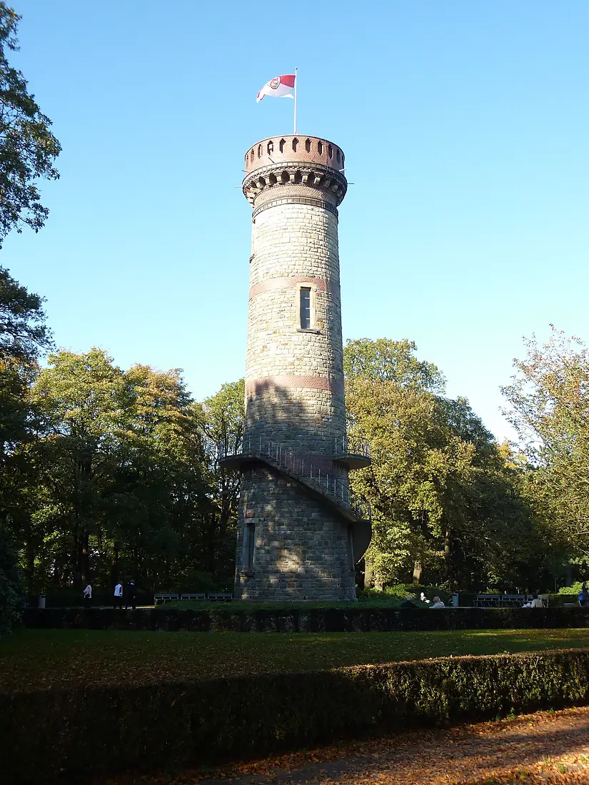
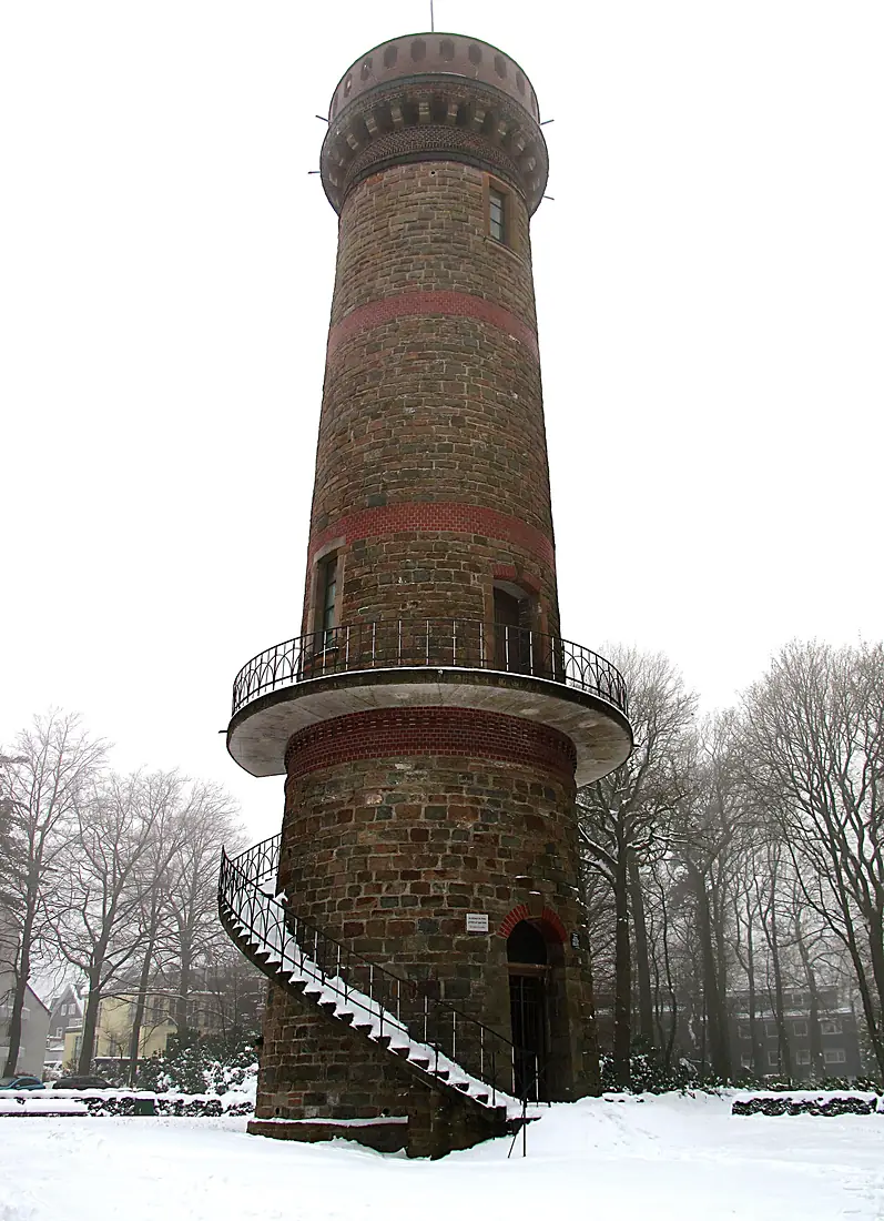
Other viewpoints nearby.
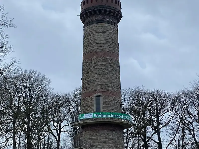
Toelle-Tower
Germany
- 70Viewyas Score
- 109 kmFarthest ridge
- 223Peaks in view
- 340 mAltitude
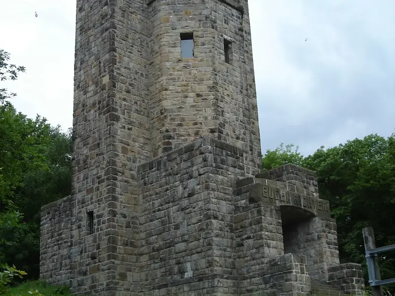
Eugen-Richter-Tower
Germany · 20 km
- 68Viewyas Score
- 104 kmFarthest ridge
- 118Peaks in view
- 294 mAltitude
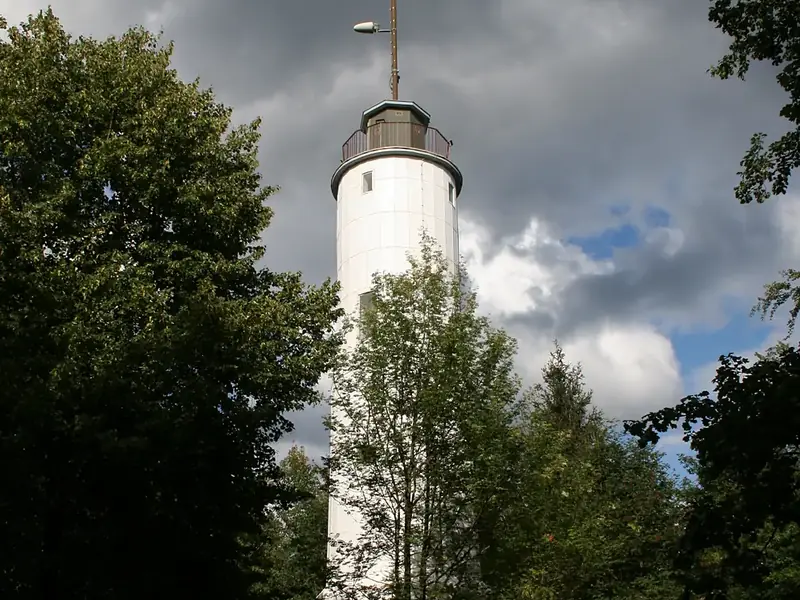
Homert-Tower
Germany · 32 km
- 72Viewyas Score
- 124 kmFarthest ridge
- 332Peaks in view
- 549 mAltitude
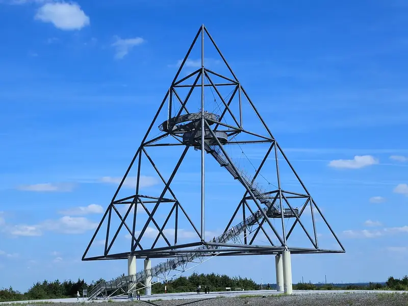
Tetrahedron in Bottrop
Germany · 34 km
- 69Viewyas Score
- 107 kmFarthest ridge
- 167Peaks in view
- 110 mAltitude
Where these figures come from
| Name and type | Wikidata (Q2438706) · CC0 |
|---|---|
| Sun | J. Meeus, Astronomical Algorithms |
| Peaks in view | Peakyas (Wikidata, CC0) |
| Panorama and altitude | Copernicus DEM GLO-90 / GLO-30 · © DLR e.V., © Airbus Defence and Space GmbH, Copernicus/ESA |
| Clouds | NASA POWER (CERES SYN1deg, 2001–2020; MERRA-2) |
| What is around | © OpenStreetMap contributors · ODbL |
| Images | EOX Sentinel-2 cloudless 2016 · CC BY 4.0; Wikimedia Commons |
| Sister atlases | Peakyas, Lakeyas, Forestyas, Darkskyas, Cavernyas, Riveryas |
Every figure is an average, an estimate or a count from a public dataset. Licences and methods: data sources.
The family
Do you prefer beaches, lakes, mountains, waterfalls, islands, rivers, canyons, caves, dark skies, viewpoints, birdwatching or forests?
Same idea, other landscapes: field atlases built on open data, in seven languages.
 beaches
 Find your beach: sea temperature, sun and swimming month by month.Visit lakes
 Every lake on Earth: water temperature, ice, depth and the shore.Visit mountains
 Every summit in 3D: summit weather, the 0 °C line, huts and trails.Visit
 waterfalls
 Every waterfall: height, flow month by month and when it roars.Visit
 islands
 Every island from the sea up: size, sea temperature, ferries and 3D.Visit rivers
 Every river from source to sea: the journey, the flow and the basin in numbers.Visit
 canyons
 Every canyon cut to scale: depth to the floor, rim and floor temperatures, trails and viewpoints.Visit
 caves
 Every cave with its real depth and length: the rock above, the temperature inside all year, and how to visit.Visit dark skies
 Where the night is still dark: the sky of every place, the Milky Way month by month, the Moon, eclipses and auroras.Visit
 viewpoints
 Every viewpoint with its real 360° panorama: the peaks you can name, how far you see and where the sun sets.You are here
 birdwatching
 Every bird sanctuary and wetland with the species recorded month by month: who is resident, who comes for the summer, who only passes through.Visit forests
 Every forest with its land-cover rings, what grows and lives in it, and the best months to walk it.Visit